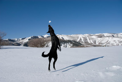
To start with, take one dog and his new red ball.
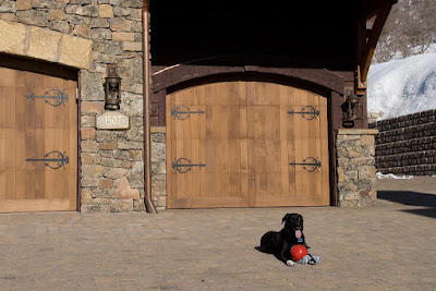
Add a ton of energy....
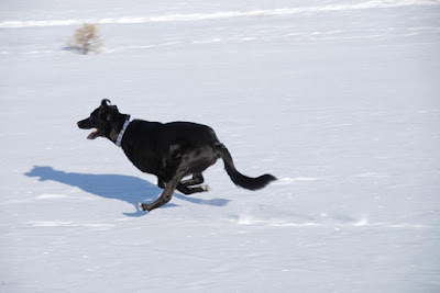
The result is a blinding flash of dog.
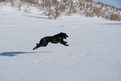
When the snow is firm, he can really get going!
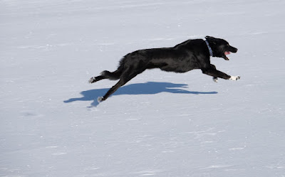
Ah, now we come to the target, the red ball. What happens when you are running at 30 mph and get close to the target?
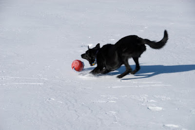
You lunge at it, and fly right by.
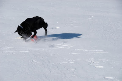
Hit the brakes hard!
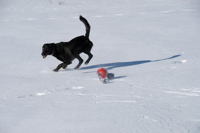
Pivot, for a much more controlled attack.
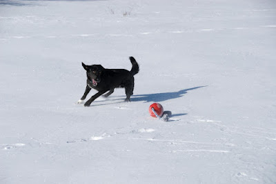
I have taken a lot of these, but I just can't resist the snowball chasing dog with such a gorgeous background.
Now for the new stuff. I recently got a device that attaches to my Nikon D200. It is a little GPS that tells the camera exactly where it is. The camera is smart enough to record that as part of each picture. This is called Geo-tagging. More software is aware of these geo tags and ties them into mapping software. I uploaded these pictures from Picasa to Google Web Albums (with one click of a button).
Click here to look at the web album.
At the bottom left corner of the page, you should see a box called Photo Locations. Click View Map. You should see a boring map, but with little pictures showing where each photo was taken. Hitting the plus sign will zoom you in a bit.
Now, much more interesting if you have Google Earth installed. (If you don't, you should. Perhaps the coolest freeware on the Internet today). Click "Back to Album View" at the top of the map. Back in the Photo Locations box, click "View in Google Earth". This takes a bit to download the instructions to Google Earth and start the program. Now you get a much better view of the landscape, with the little pictures overlaying it. You can click on the pictures to see them. You can zoom in an out on the landscape. Also, there should be a box (mine is on the left) called "Places". Each picture is listed under Temporary Places. Click on a picture and you can see exactly where it was taken.
Play with this and you will be amazed at all you can do. Finally, things working together nicely: camera + GPS + Picasa + Google Web Albums + Google Earth. Yeah!
By the way, our house wasn't quite done when the Google Earth picture was taken.
No comments:
Post a Comment